Recently, there has been a positive collaboration between Qinghai Tibet Plateau Research Institute of the Chinese Academy of Sciences and Qingdao Leice Transient Technology Co., Ltd. Our team worked tirelessly with the customers to overcome the adverse factors present in the harsh natural environment of the Qinghai Tibet Plateau. Despite the extremely high altitude, we were able to overcome the difficulties and successfully complete the construction of China's first three-dimensional monitoring network for the wind field and flux by lidars.
We are proud to have played a crucial role in laying the foundation for China to continue leading scientific research on atmospheric processes and environmental changes on the plateau. Our teamwork, dedication, and steadfast commitment to success allowed us to achieve this remarkable feat, and we feel honored to have been a part of such an important project.
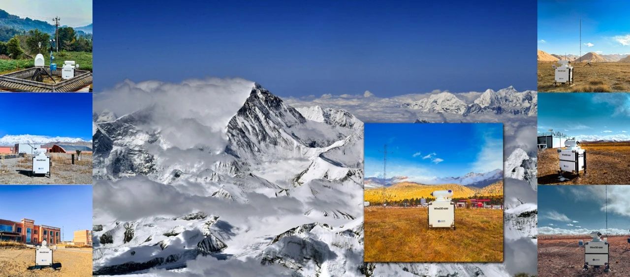
The Third Pole Integrated Observation Network Platform (TPEITORP) in the multi-layer atmospheric interaction in the polar region.
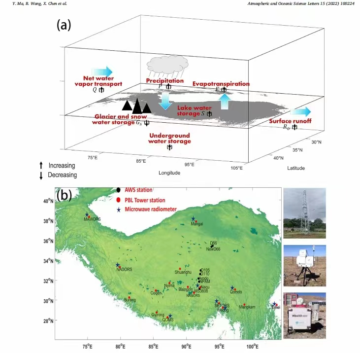
As an important part of China's comprehensive three-dimensional observation network platform for the interaction of multi-layered atmospheric processes in the third pole region, the wind field and flux three-dimensional monitoring network uses domestically produced Doppler lidars developed by Leice. The equipment deployment and network platform access for seven observation stations have been completed, covering the typical meteorological areas of the Qinghai-Tibet Plateau. It is currently the highest altitude and largest-scale wind field and flux observation lidar three-dimensional monitoring network in China and even the world.
As the "Roof of the World" and the "Water Tower of Asia," the Qinghai-Tibet Plateau is an important ecological security barrier and strategic resource reserve base for China. As a sensitive region to global climate change and a natural laboratory, the Qinghai-Tibet Plateau influences the energy and water cycles of various spheres on Earth. Its thermal and dynamic effects have a significant impact on the production and living of human beings in the plateau and downstream regions, the Asian monsoon, and even global atmospheric circulation and weather and climate.
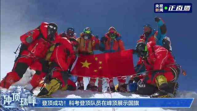
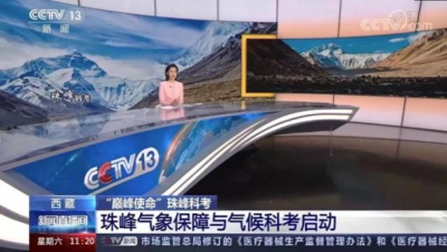
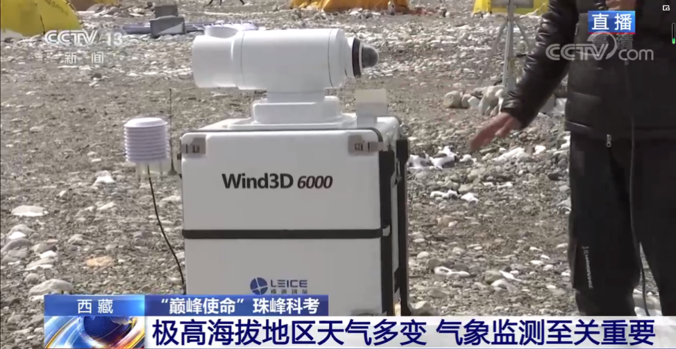
Starting from April 2022, the Doppler lidar delivered by Leice has been serving the "Peak Mission" scientific expedition. It was featured in a special report on the CCTV News Channel. This lidar has been operating stably in the harsh environment of the Qinghai-Tibet Plateau, providing accurate and reliable data, and has received high recognition from users.

The Institute of Tibetan Plateau Research of the Chinese Academy of Sciences has made remarkable achievements in the construction of a comprehensive three-dimensional monitoring network for the atmospheric wind field and flux on the Tibetan Plateau, which can improve the data acquisition and analysis capabilities of researchers in the fields of atmospheric wind field structure, atmospheric boundary layer structure, regional turbulence, aerosol characteristics, and material/momentum flux, so as to analyze the atmospheric circulation in the Tibetan Plateau, optimize the numerical prediction model, and study climate. It provides important equipment and data support for pollutant transport analysis.