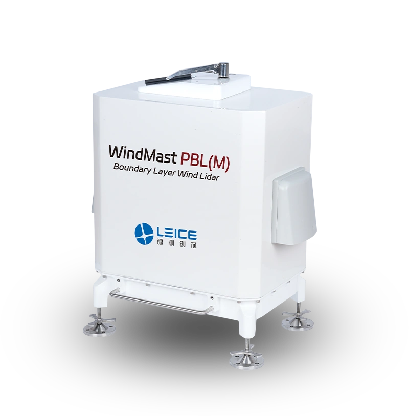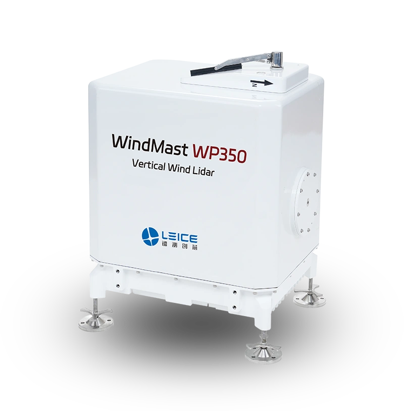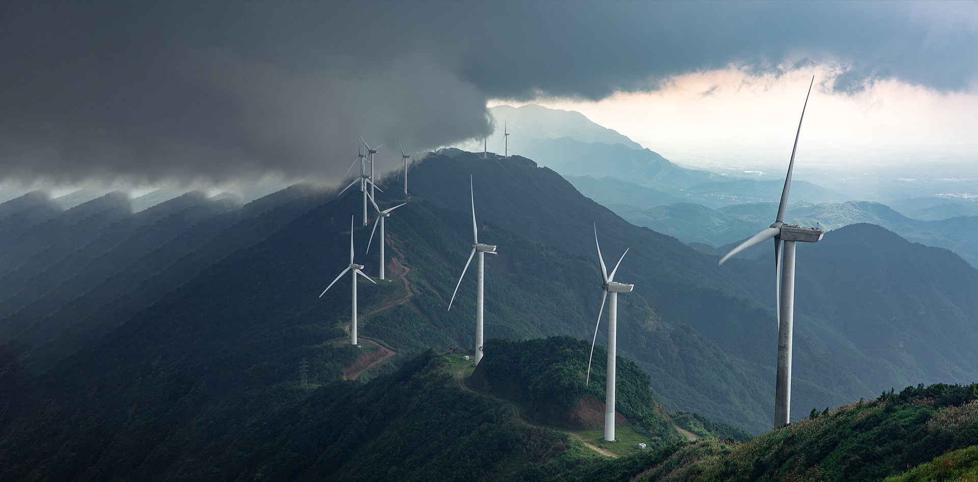
During the initial phase of wind farm construction, it is necessary to survey the regional wind resources and identify suitable sites for the wind farm. The conventional method for site selection involves constructing multiple meteorological towers. However, building these towers in mountainous or offshore areas requires significant investment in labor and resources, and the maintenance workload is substantial. Moreover, with wind turbine hub heights exceeding 120 meters, traditional meteorological towers can no longer meet the current measurement requirements. By using LiDAR to replace the meteorological towers, it is possible to achieve long-term, unmanned, comprehensive, and high-precision wind resource data collection. This not only greatly reduces labor and material costs but also overcomes the height limitations of conventional towers. LiDAR can capture detailed wind conditions above 100 meters, providing an efficient optimization solution for the micro-siting of wind farms.

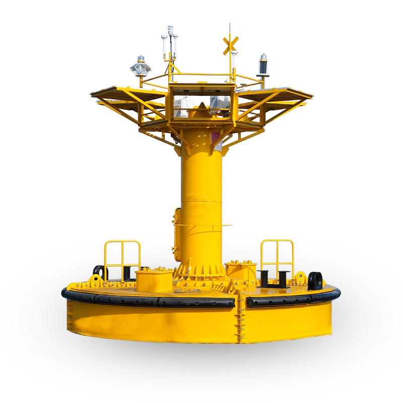
Adapt to harsh offshore and onshore installation environments
IEC Class I anemometer accuracy standard ≤0.1m/s
Replace the traditional met tower, reduce the cost
Quickly deploy offshore and onshore, reducing task cycle time