The urban wind field is the unique wind of big cities due to the combined effect of urban heat island effect and street narrow valley effect. It has an impact on convective weather, precipitation, dry and wet distribution, and forms many unique climatic characteristics in urban areas. The atmospheric pollutants discharged from factories in the suburbs can be collected into the urban area to increase the concentration. In addition, the streets lined with tall buildings on both sides can also form a small-scale "street wind" circulation due to the difference in heating between the roof and the "narrow valley". At the same time, the city can also create local strong winds and cause disasters.
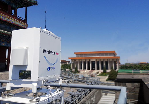
The scanning wind lidar can acquire micro-scale and high-resolution wind field information by customized scanning modes.
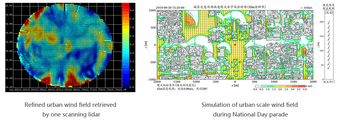
Grid wind field data of different heights can be achieved by full range cone scanning with multiple elevation angles.
Combined with the urban scale by fast scanning model, the short-term and impending prediction of urban scale wind field can be realized.
Tel: 0532-80922894
Fax: 0532-80922894
Mail: jennifer@leice-lidar.com
Address: 2F, Area A, Jiushui East Road No.600, Laoshan District, Qingdao, Shandong, China 266102


Website